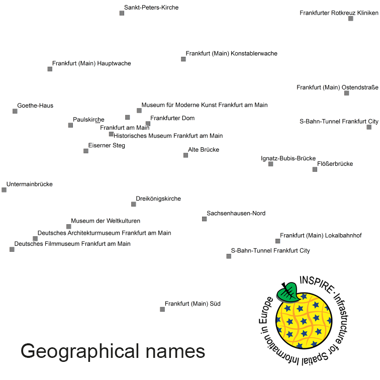
INSPIRE View Service for geographical names of municipalities or parts thereof, landscapes, mountain ranges, mountains, islands, rivers, canals, lakes, seas, etc. Data is provided for the Federal Republic of Germany. The dataset is structured according to the INSPIRE Annex I Theme - Geographical Names. The selection of the geographical names is based on the map scale 1 : 250 000 and is derived from different statistical sources, Digital Landscape Models 1 : 250 000 (DLM250) and Digital Elevation Model grid width 10 m (DGM10). This service is published under the Ordinance to Determine the Conditions for Use for the Provision of Spatial Data of the Federation (GeoNutzV) and thereof free of charge.
Raumbezug
Lage der Geodaten (in WGS84)
| SW Länge/Breite | NO Länge/Breite | |
|---|---|---|
| Bundesrepublik Deutschland (000000000000) | 6.098°/47.239° | 15.579°/55.054° |
| 000000000000 |
| Regionalschlüssel |
|---|
Verweise und Downloads
Querverweise (1)
Nutzung
| Nutzungsbedingungen |
The data are protected by copyright. In accordance with the "Geodatenzugangsgesetz" (Geodata Access Act), the data are made available free of charge for download and online use, see https://sgx.geodatenzentrum.de/web_public/gdz/lizenz/geozg.pdf. The use of the data is regulat-ed by the "Verordnung zur Festlegung der Nutzungsbestimmungen für die Bereitstellung von Geodaten des Bundes – GeoNutzV" (Regulation on the Determination of the Terms of Use for the Provision of Federal Geodata) of 19 March 2013 (Bundesgesetzblatt Jahrgang 2013 Teil I Nr. 14), see https://sgx.geodatenzentrum.de/web_public/gdz/lizenz/eng/geonutzv.pdf. The source note must be observed. |
|---|
| Zugriffsbeschränkungen |
no limitations to public access |
|---|
Kontakt
Point of Contact
|
Federal Agency for Cartography and Geodesy service centre
Karl-Rothe-Str. 10-14
|
Resource Provider
|
Federal Agency for Cartography and Geodesy
Richard-Strauss-Allee 11
|
Fachinformationen
Informationen zur Geodatenressource
| Klassifikation des Dienstes |
Map access service (WMS, WMTS, API Maps etc.) |
|---|
| Art des Dienstes |
View Service |
|---|
| Version |
OGC:WMS 1.3.0 |
|---|
Operation
| Name der Operation | Beschreibung der Operation | Zugangspunkt der Operation oder des Dienstes | |
|---|---|---|---|
| GetCapabilities |
https://sg.geodatenzentrum.de/wms_gn250_inspire? |
||
| GetMap |
https://sg.geodatenzentrum.de/wms_gn250_inspire? |
||
| GetFeatureInfo |
https://sg.geodatenzentrum.de/wms_gn250_inspire? |
||
| GetCapabilities Dokument |
|---|
Zusatzinformationen
Konformität
| Spezifikation der Konformität | Spezifikationsdatum | Grad der Konformität | Geprüft mit |
|---|---|---|---|
| COMMISSION REGULATION (EC) No 976/2009 of 19 October 2009 implementing Directive 2007/2/EC of the European Parliament and of the Council as regards the Network Services | 20.10.2009 |
Datenformat
| Name | Version | Kompressionstechnik | Spezifikation |
|---|---|---|---|
| GML | 3.2 |

