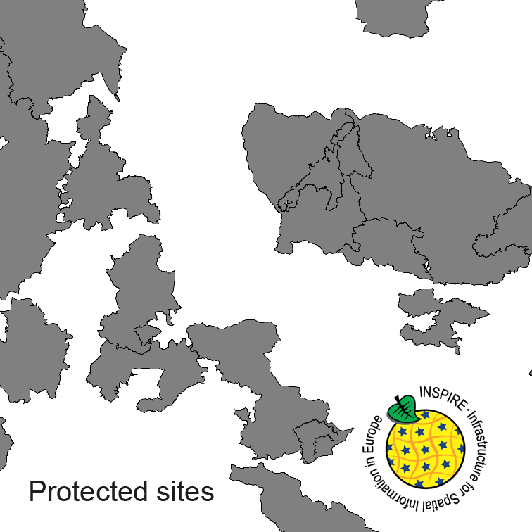
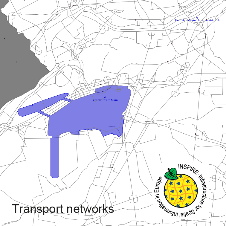
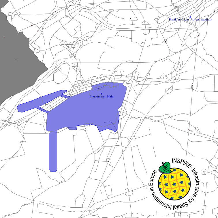
Protected Sites of Germany, derived from the german digital landscape model at scale 1:250000. Mapped via EuroRegionalMap to satisfy INSPIRE and European Location Framework conformance. The dataset is available as Open Data.
Raumbezug
Lage der Geodaten (in WGS84)
| SW Länge/Breite | NO Länge/Breite | |
|---|---|---|
| Bundesrepublik Deutschland (000000000000) | 6.098°/47.239° | 15.579°/55.054° |
| 000000000000 |
| Regionalschlüssel |
|---|
| Koordinatensystem |
|---|
Verweise und Downloads
Querverweise (2)
Nutzung
| Nutzungsbedingungen |
The data are protected by copyright. In accordance with the "Geodatenzugangsgesetz" (Geodata Access Act), the data are made available free of charge for download and online use, see https://sgx.geodatenzentrum.de/web_public/gdz/lizenz/geozg.pdf. The use of the data is regulat-ed by the "Verordnung zur Festlegung der Nutzungsbestimmungen für die Bereitstellung von Geodaten des Bundes – GeoNutzV" (Regulation on the Determination of the Terms of Use for the Provision of Federal Geodata) of 19 March 2013 (Bundesgesetzblatt Jahrgang 2013 Teil I Nr. 14), see https://sgx.geodatenzentrum.de/web_public/gdz/lizenz/eng/geonutzv.pdf. The source note must be observed. © GeoBasis-DE / BKG (year of last data download) |
|---|
| Zugriffsbeschränkungen |
no limitations to public access |
|---|
Kontakt
Point of Contact
|
Federal Agency for Cartography and Geodesy service centre
Karl-Rothe-Str. 10-14
|
Distributor
|
Federal Agency for Cartography and Geodesy service centre
Karl-Rothe-Str. 10-14
|
Owner
|
Federal Agency for Cartography and Geodesy
Richard-Strauss-Allee 11
|
Fachinformationen
Informationen zur Geodatenressource
| Digitale Repräsentation |
Vector |
|---|
| Maßstab 1:x |
250000 |
|---|
| Fachliche Grundlage |
derived from german topographic database 1:250 000 |
|---|
Zusatzinformationen
| Sprache des Datensatzes |
Deutsch |
|---|
Konformität
| Spezifikation der Konformität | Spezifikationsdatum | Grad der Konformität | Geprüft mit |
|---|---|---|---|
| INSPIRE Data Specification on Protected Sites - Guidelines | 26.04.2010 | ||
| COMMISSION REGULATION (EU) No 1089/2010 of 23 November 2010 implementing Directive 2007/2/EC of the European Parliament and of the Council as regards interoperability of spatial data sets and services | 08.12.2010 |
Datenformat
| Name | Version | Kompressionstechnik | Spezifikation |
|---|---|---|---|
| GML | 3.2 |


