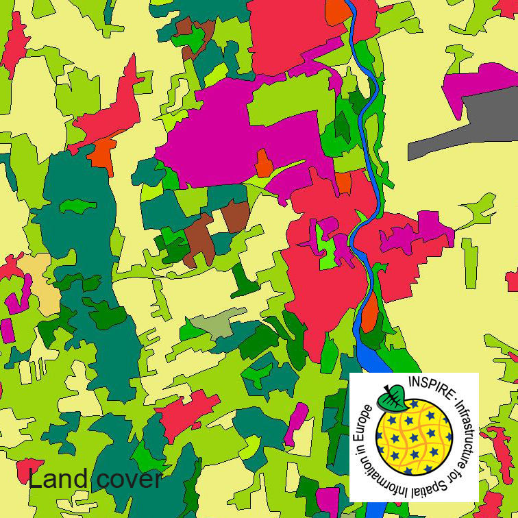
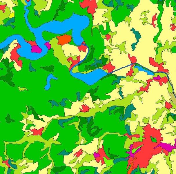
This dataset clc5 (2015) describes the landscape according to the CORINE Land Cover (CLC) nomenclature. These classes contain mainly information about landcover mixed with some aspects of landuse. CLC5 is based on the more detailed German landcover model from 2015 (LBM-DE2015) which uses separate classes for landcover and landuse and attribute-information about percentage of vegetation and sealing. The mimimum unit for an object is 1 ha. For the CLC5 dataset landcover and landuse classes are combined to unique CLC-classes taking into account the percentage of vegetation and sealing , followed by a generalisation process.
Raumbezug
Lage der Geodaten (in WGS84)
| SW Länge/Breite | NO Länge/Breite | |
|---|---|---|
| Bundesrepublik Deutschland (000000000000) | 6.098°/47.239° | 15.579°/55.054° |
| 000000000000 |
| Regionalschlüssel |
|---|
Verweise und Downloads
Querverweise (2)
| Identifikator des übergeordneten Metadatensatzes |
D85D3ABC-0612-40AE-8E70-78EDB386DE7F |
|---|
Nutzung
| Nutzungsbedingungen |
The data are protected by copyright. In accordance with the "Geodatenzugangsgesetz" (Geodata Access Act), the data are made available free of charge for download and online use, see https://sgx.geodatenzentrum.de/web_public/gdz/lizenz/geozg.pdf. The use of the data is regulat-ed by the "Verordnung zur Festlegung der Nutzungsbestimmungen für die Bereitstellung von Geodaten des Bundes – GeoNutzV" (Regulation on the Determination of the Terms of Use for the Provision of Federal Geodata) of 19 March 2013 (Bundesgesetzblatt Jahrgang 2013 Teil I Nr. 14), see https://sgx.geodatenzentrum.de/web_public/gdz/lizenz/eng/geonutzv.pdf. The source note must be observed. © GeoBasis-DE / BKG < year of last data download > |
|---|
| Zugriffsbeschränkungen |
no limitations to public access |
|---|
Kontakt
Point of Contact
|
Federal Agency for Cartography and Geodesy service centre
Karl-Rothe-Str. 10-14
|
Distributor
|
Federal Agency for Cartography and Geodesy service centre
Karl-Rothe-Str. 10-14
|
Publisher
|
Federal Agency for Cartography and Geodesy
Richard-Strauss-Allee 11
|
Fachinformationen
Informationen zur Geodatenressource
| Digitale Repräsentation |
Vector |
|---|
| Maßstab 1:x |
25000 |
|---|
| Fachliche Grundlage |
The CLC5 data (minimum mapping unit 5 hectares) are derived from the land cover model for Germany (LBM-DE) by generalization. This dataset, in which the minimum mapping is 1 hectare, contains land cover and land use information for each object. By means of a cross-table the single combinations of land cover and land use attributes are transformed - with regard to the degrees of sealing and vegetation that are stored in LBM-DE as well - into unique CLC codes. |
|---|
| Datengrundlage |
LBM-DE (2015) |
|---|
| Herstellungsprozess |
transformation |
|---|
Zusatzinformationen
| Sprache des Datensatzes |
Englisch |
|---|
Konformität
| Spezifikation der Konformität | Spezifikationsdatum | Grad der Konformität | Geprüft mit |
|---|---|---|---|
| INSPIRE Data Specification on Land Cover – Technical Guidelines | 10.12.2013 | ||
| COMMISSION REGULATION (EU) No 1089/2010 of 23 November 2010 implementing Directive 2007/2/EC of the European Parliament and of the Council as regards interoperability of spatial data sets and services | 08.12.2010 |
Datenformat
| Name | Version | Kompressionstechnik | Spezifikation |
|---|---|---|---|
| GML | 3.2.1 |


