Suche Über BKG-MIS
Kontakt Impressum Datenschutz Erklärung zur Barrierefreiheit
BKG-MIS - Indexieren, Recherchieren, Visualisieren, Teilen
Metadaten
Informations
System
Suche
Über BKG-MIS
Alle Suchergebnisse
Geodatendienst
INSPIRE

INSPIRE-WMS Digital Landscape Model 1:250 000

Inhalt
  • Übersicht
  • Be­schrei­bung
    Zeitbezug
  • Raumbezug
  • Verweise und Downloads
    URL des Zugangs Querverweise Weitere Verweise
  • Nutzung
  • Kontakt
    Point of Contact Resource Provider
  • Fach­informationen
    Informationen zur Geodatenressource Zusatzinformationen Schlag­worte
  • Metadatensatz

URL des Zugangs (1)

https://sg.geodatenzentrum.de/wms_dlm250_inspire?REQUEST=GetCapabilities&SERVICE=WMS

Querverweise (4)

INSPIRE Administrative Units ATKIS-DLM250
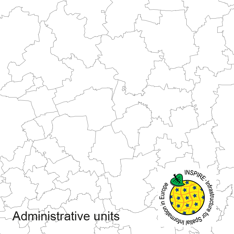
Administrative units of Germany, derived from the german digital landscape model at scale 1:250000. Mapped via EuroBoundaryMap to satisfy INSPIRE and European Location Framework conformance. The dataset is available as Open Data.
INSPIRE Hydrography ATKIS-DLM250
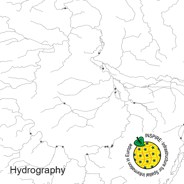
Hydrography of Germany, derived from the german digital landscape model at scale 1:250000. Mapped via EuroRegionalMap to satisfy INSPIRE and European Location Framework conformance. The dataset contains the hydrographic network and physical waters and is available as Open Data.
Alle Links

Nutzungs­bedingun­gen

The data are protected by copyright. In accordance with the "Geodatenzugangsgesetz" (Geodata Access Act), the data are made available free of charge for download and online use, see https://sgx.geodatenzentrum.de/web_public/gdz/lizenz/geozg.pdf. The use of the data is regulat-ed by the "Verordnung zur Festlegung der Nutzungsbestimmungen für die Bereitstellung von Geodaten des Bundes – GeoNutzV" (Regulation on the Determination of the Terms of Use for the Provision of Federal Geodata) of 19 March 2013 (Bundesgesetzblatt Jahrgang 2013 Teil I Nr. 14), see https://sgx.geodatenzentrum.de/web_public/gdz/lizenz/eng/geonutzv.pdf. The source note must be observed.
Quellenvermerk: © GeoBasis-DE / BKG

Point of Contact

Federal Agency for Cartography and Geodesy service centre

dlz@bkg.bund.de
+49 69 6333-2995
+49 69 6333-251
https://www.bkg.bund.de

Vorschau

img

preview

Be­schrei­bung

WMS_DLM250_INSPIRE

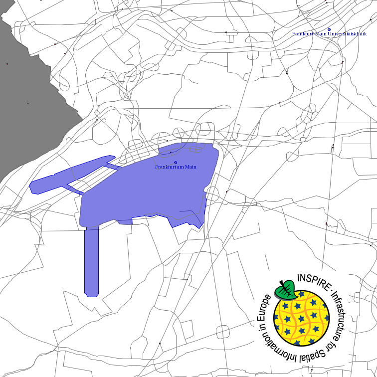
This service provides from ATKIS DLM250 transformed datasets for the INSPIRE themes Transport Networks, Hydrography (Networks and Physical Water), Administrative Units and Protected Sites. The data provided through this service covers the area of Germany.

Zeitbezug

Creation

26.09.2017

Periodizität

as Needed

Raumbezug

Lage der Geodaten (in WGS84)
SW Länge/Breite NO Länge/Breite
Bundesrepublik Deutschland (000000000000) 6.098°/47.239° 15.579°/55.054°
000000000000
Regionalschlüssel
000000000000
Koordinaten­system
EPSG 4258: ETRS89 / geographisch
EPSG 4839: ETRS89 / LCC Germany (N-E)
EPSG 3045: ETRS89 / UTM Zone 33N (N-E)
EPSG 3044: ETRS89 / UTM Zone 32N (N-E)
EPSG 32632: WGS 84 / UTM Zone 33N
EPSG 32632: WGS 84 / UTM Zone 32N
EPSG 25833: ETRS89 / UTM Zone 33N
EPSG 25832: ETRS89 / UTM Zone 32N
EPSG 31469: DHDN / Gauss-Krüger Zone 5
EPSG 31468: DHDN / Gauss-Krüger Zone 4
EPSG 31467: DHDN / Gauss-Krüger Zone 3
EPSG 31466: DHDN / Gauss-Krüger Zone 2
EPSG 3035: ETRS89 / LAEA Europe (INSPIRE)
EPSG 3034: ETRS89 / LCC Europe (INSPIRE)
EPSG 4326: WGS 84 / geographisch

Verweise und Downloads

URL des Zugangs (1)

https://sg.geodatenzentrum.de/wms_dlm250_inspire?REQUEST=GetCapabilities&SERVICE=WMS

Querverweise (4)

Geodatensatz
INSPIRE Administrative Units ATKIS-DLM250
img
Administrative units of Germany, derived from the german digital landscape model at scale 1:250000. Mapped via EuroBoundaryMap to satisfy INSPIRE and European Location Framework conformance. The dataset is available as Open Data.
Geodatensatz
INSPIRE Hydrography ATKIS-DLM250
img
Hydrography of Germany, derived from the german digital landscape model at scale 1:250000. Mapped via EuroRegionalMap to satisfy INSPIRE and European Location Framework conformance. The dataset contains the hydrographic network and physical waters and is available as Open Data.
Geodatensatz
INSPIRE Protected Sites ATKIS-DLM250
img
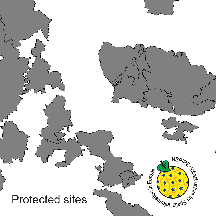
Protected Sites of Germany, derived from the german digital landscape model at scale 1:250000. Mapped via EuroRegionalMap to satisfy INSPIRE and European Location Framework conformance. The dataset is available as Open Data.
Geodatensatz
INSPIRE Transport Networks ATKIS-DLM250
img
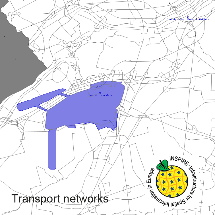
Transport Networks of Germany, derived from the german digital landscape model at scale 1:250000. Mapped via EuroRegionalMap to satisfy INSPIRE and European Location Framework conformance. The dataset contains the road, railway, water and air network and is available as Open Data.

Weitere Verweise (2)

Dienst "INSPIRE-WMS Digital Landscape Model 1:250 000" (GetCapabilities) Information
product information website Information

Nutzung

Nutzungs­bedingun­gen

The data are protected by copyright. In accordance with the "Geodatenzugangsgesetz" (Geodata Access Act), the data are made available free of charge for download and online use, see https://sgx.geodatenzentrum.de/web_public/gdz/lizenz/geozg.pdf. The use of the data is regulat-ed by the "Verordnung zur Festlegung der Nutzungsbestimmungen für die Bereitstellung von Geodaten des Bundes – GeoNutzV" (Regulation on the Determination of the Terms of Use for the Provision of Federal Geodata) of 19 March 2013 (Bundesgesetzblatt Jahrgang 2013 Teil I Nr. 14), see https://sgx.geodatenzentrum.de/web_public/gdz/lizenz/eng/geonutzv.pdf. The source note must be observed.
Quellenvermerk: © GeoBasis-DE / BKG

Zugriffs­beschränkun­gen

no limitations to public access

Kontakt

Point of Contact

Federal Agency for Cartography and Geodesy service centre

Karl-Rothe-Str. 10-14
04105 Leipzig
Deutschland

dlz@bkg.bund.de
+49 69 6333-2995
+49 69 6333-251
https://www.bkg.bund.de
Resource Provider

Federal Agency for Cartography and Geodesy

Richard-Strauss-Allee 11
60598 Frankfurt am Main
Deutschland

mailbox@bkg.bund.de
+49 69 6333-1
+49 69 6333-235
https://www.bkg.bund.de

Fach­informationen

Informationen zur Geodatenressource

Klassifikation des Dienstes

Map access service (WMS, WMTS, API Maps etc.)

Art des Dienstes

View Service

Version

OGC:WMS 1.3.0

Operation
Name der Operation Beschreibung der Operation Zugangspunkt der Operation oder des Dienstes
GetCapabilities

https://sg.geodatenzentrum.de/wms_dlm250_inspire?

GetMap

https://sg.geodatenzentrum.de/wms_dlm250_inspire?

GetFeatureInfo

https://sg.geodatenzentrum.de/wms_dlm250_inspire?

Get­Ca­pa­bi­li­ties Do­ku­ment
Get­Ca­pa­bi­li­ties an­zei­gen

Zusatzinformationen

Kon­formi­tät
Spezifi­kation der Kon­formi­tät Spezifi­kations­datum Grad der Kon­formi­tät Geprüft mit
COMMISSION REGULATION (EC) No 976/2009 of 19 October 2009 implementing Directive 2007/2/EC of the European Parliament and of the Council as regards the Network Services 20.10.2009
Datenformat
Name Version Kompressionstechnik Spezifi­kation
GML 3.2

Schlag­worte

INSPIRE-Themen Administrative units Hydrography Protected sites Transport networks
GEMET-Concepts transportation water (geographic)
AdV-Produktgruppe INSPIRE Verkehrsnetze INSPIRE Verwaltungseinheiten INSPIRE Gewässernetz
Suchbegriffe AdVMIS Amtliches Topographisch-Kartographisches Informationssystem ATKIS BKG Digitale Landschaftsmodelle Digitales Landschaftsmodell 250 DLM250 Germany Hydro - Network Hydro - Physical Waters INSPIRE-WMS_Hydro-Netzwerk_ATKIS_DLM250 INSPIRE-WMS_Hydro-Physische_Gewaesser_ATKIS_DLM250 INSPIRE-WMS_Schutzgebiete_ATKIS_DLM250 INSPIRE-WMS_Verkehrsnetze_ATKIS_DLM250 INSPIRE-WMS_Verwaltungseinheiten_ATKIS_DLM250 inspireidentifiziert Transport Networks

Informationen zum Metadatensatz

Metadatensatz-ID

1BEDB0B2-74F8-4FA2-8812-D4CC3AA2641B

Datum

10.04.2025

Sprache Metadatensatz

Englisch

XML Dar­stellung
Metadaten als XML herunter­laden
Point of Contact
dlz@bkg.bund.de

Diese Seite

  • drucken
  • empfehlen

Service

  • Twit­ter
  • Lin­ke­dIn
  • Ins­ta­gram
  • Xing
  • You­tu­be
  • RSS
BKG
  • Kontakt
  • Impressum
  • Datenschutz
  • Erklärung zur Barrierefreiheit

© Bundesamt für Kartographie und Geodäsie - 2024

Nach oben

Hilfe